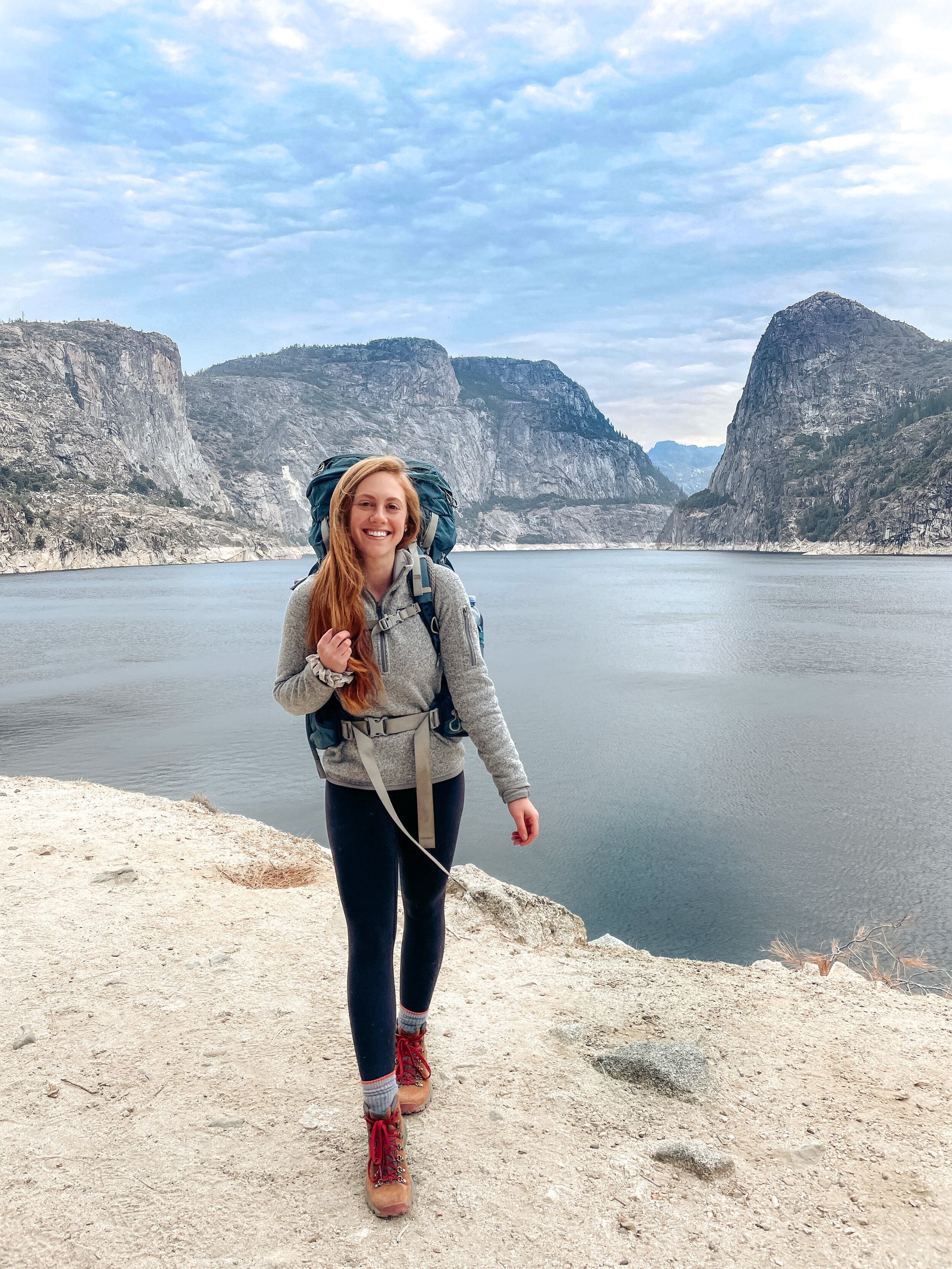
Backpacking Itinerary for Hetch Hetchy
Hetch Hetchy is the perfect weekend backpacking trip in California. It’s beautiful, slightly less crowded, and great for all levels. However, it does take some pre-planning. In order to apply for a permit through Yosemite National Park, you must know your starting trailhead and the length of your trip. I break down both my itinerary and alternative itineraries below.
Check out my Ultimate Guide to Backpacking Hetch Hetchy for everything else you need to know when planning this trip!
This map shows my exact itinerary for Hetch Hetchy. Light blue (day 1), orange (detour to Laurel Lake), pink (day 2), green (day 3). Water sources are marked with dark blue dots.
MY ITINERARY
Number of nights: 2
Total miles: 27 miles
Total Elevation: about 5,850 ft. gain
Starting trailhead: Beehive Meadow (clockwise)
Day 1: O’Shaughnessy Dam to Lake Vernon (10.2 miles)
On day one, you start by walking past the O’Shaughnessy dam and through a granite cave. The trail will soon reach a junction where you’ll keep left towards Beehive Meadows/Lake Vernon. You’ll start climbing up the valley wall with incredible views overlooking the reservoir. Don’t forget to stop and take it in! At about 6.5 miles, you’ll reach the junction to Laurel Lake. If you have time to detour about 2.5 miles, it’s the perfect place for a lunch break. After your lunch break, it’s time to head to Lake Vernon. You’ll head through a forested area and finally to a large granite area (easy to lose the trail so make sure to have the All Trails map downloaded!) before arriving at Lake Vernon. There are so many amazing campsite options near Lake Vernon so look around before choosing a spot. Make sure to camp 200 ft. away from the water as well (check out my post on How to Properly Follow Leave No Trace if you’d like to read additional information on choosing a good campsite).
Approximate elevation profile of day 1
Set up camp around Lake Vernon on day one
Day 2: Lake Vernon to Rancheria Falls (10.3 miles)
Day two begins with some switchbacks that overlook Lake Vernon. The views are amazing so make sure to look back! After the climb, you’ll get some flat meadow views for a while before descending into Tiltill Valley. Tiltill creek is a great place to fill up water. Finally, you’ll end the day heading down into the Rancheria Falls area. There is a large open space with tree coverage that’s perfect for setting up camp.
Approximate elevation profile of day 2
Start of day two overlooking Lake Vernon
Day 3: Rancheria Falls to O’Shaughnessy Dam (6.3 miles)
On your final day, you’ll head out of Rancheria Falls and along the perimeter of the reservoir. The views are incredible the entire way out. Take it in and enjoy your last day out there!
Approximate elevation profile of day 3
Beautiful winter hike along the reservoir on day three
2-night Alternative Itinerary
Number of nights: 2
Total miles: 27 miles
Total Elevation: about 5,800 ft. gain
Starting trailhead: Rancheria Falls (counterclockwise)
Day 1: O’Shaughnessy Dam to Rancheria Falls
Day 2: Rancheria Falls to Lake Vernon
Day 3: Lake Vernon to O’Shaughnessy Dam
3-night Alternative Itinerary
Number of nights: 3
Total miles: 31 miles
Total Elevation: about 6,000 ft. gain
Starting trailhead: Beehive Meadows (clockwise)
Day 1: O’Shaughnessy Dam to Laurel Lake
Day 2: Laurel Lake to Lake Vernon
Day 3: Lake Vernon to Rancheria Falls
Day 4: Rancheria Falls to O’Shaughnessy Dam
1-night or Day Hiking Alternatives
ONLY Laurel Lake (out and back)
Total Miles: 14.2 miles
Total Elevation: 2,700 ft. gain
Trailhead: Beehive Meadows
ONLY Lake Vernon (out and back)
Total Miles: 19.1 miles
Total Elevation: 2,700 ft. gain
Trailhead: Beehive Meadows
ONLY Rancheria Falls
Total Miles: 12.6 miles
Total Elevation: 700 ft. gain
Trailhead: Rancheria Falls
I hope this helps you plan your backpacking trip to Hetch Hetchy. Let me know if you have any questions in the comments below!


